
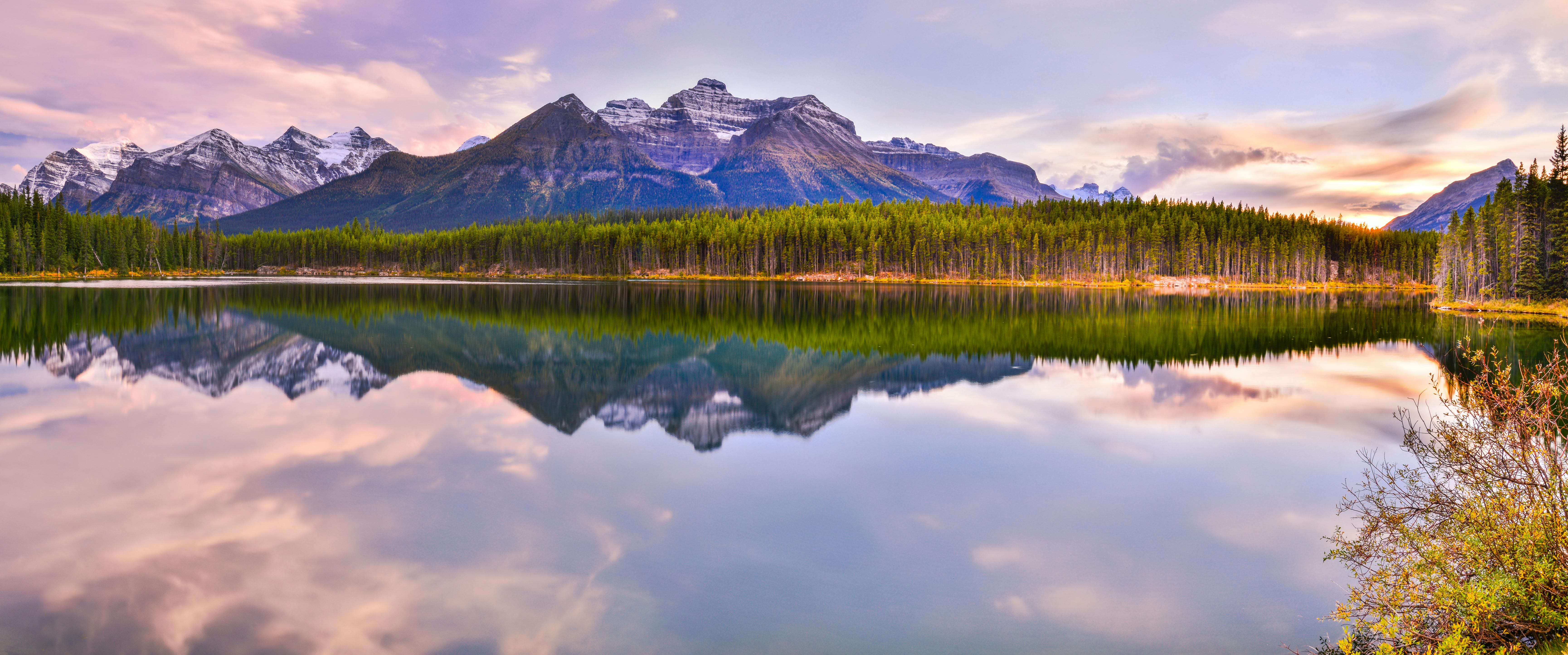
Canada is on the map as a country of specific places, not one address. That sentence is smaller than it sounds, and that is the honest version. The provinces and territories are real geography: Alberta, British Columbia, Manitoba, New Brunswick, Newfoundland and Labrador, Nova Scotia, Ontario, Prince Edward Island, Quebec, Saskatchewan, and the three territories — Northwest Territories, Nunavut, Yukon. Each one is a different climate, a different street, a different reason to stay or leave.
A country is not a city
You do not move to Canada the way a brochure wants you to move to a flag. You land in a city, then in a neighborhood, then on a block that has its own weather. Toronto is the first city on this issue to say that out loud. The lakeshore is not Queen West. The Annex is not Leslieville. Kensington is not a skyline. You pick a slice and the rest becomes background.
Read the city story that already drew the line: Toronto is not one city. You live in a slice. That is how to enter the country from here. Not through a national claim. Through a street you can actually walk. The first winter you cross those neighborhoods in the cold will teach you more than a country page can.
Ontario, specifically
Ontario is the largest English-speaking province and still not one place. Toronto holds the density and the streetcar lines. Ottawa sits west on the river as a capital with a different calendar. Between them are towns that do not owe you either version. If you came looking for a single Canadian city to stand in for the whole map, you came looking for the wrong thing.
The west coast of the country is another argument entirely. British Columbia faces the Pacific. The Prairie provinces hold a different sky. Quebec keeps its own language in the street. The Atlantic provinces face a different water. The territories sit farther north than most visitors ever plan for. Naming them is not the same as collapsing them into one Canada you can pack in a weekend.
How to read Canada from here
Start with Toronto if you need a first city. Walk the slice, not the skyline. Compare that to the country page at /canada the way you would compare a neighborhood to a map: the names are real, the distances are real, and the magazine is not going to pretend one article covers the distance from Vancouver Island to Newfoundland.
A map is not nothing. It is the precondition. The next true sentence about Canada will be another city that talks the way Toronto already talked — a specific street, a specific weather, a specific reason the place holds. Until then, this is the piece: Canada is on the map. Begin with a slice, not a flag.